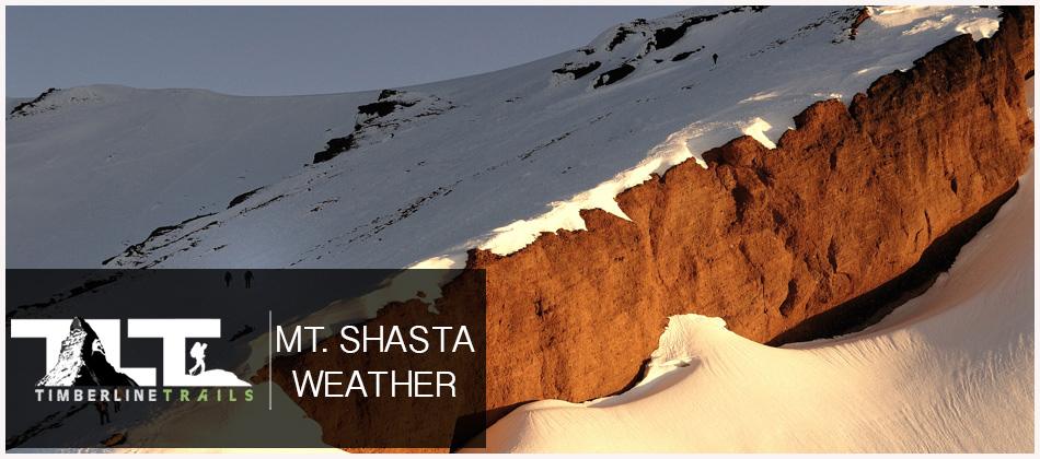
 MT SHASTA -
towers over neighboring mountains, it tends to “create its own weather.” Moisture condenses on the mountain forming lenticular clouds, so even on clear days the mountain can be covered by clouds. Weather conditions can change rapidly on the mountain, especially in winter.
MT SHASTA -
towers over neighboring mountains, it tends to “create its own weather.” Moisture condenses on the mountain forming lenticular clouds, so even on clear days the mountain can be covered by clouds. Weather conditions can change rapidly on the mountain, especially in winter. The Five Red Flags of Avalanche Danger any time of year include: 1) Recent/current avalanche activity 2)Thumping sounds or shooting cracks 3) Recent/current heavy snowfall 4) Strong winds transporting snow 5) Rapid warming or rain on snow. (Info from Mt Shasta Avalanche Center)
 Below Weather Forcast at about 6,950 Ft Bunny Flat Parking Area (as shown above)
| Thursday 7/30 Partly sunny, then gradually becoming sunny, with a high near 75. Light and variable wind becoming south 5 to 9 mph in the morning. Winds could gust as high as 20 mph. |
| Thursday Night 7/30 Clear, with a low around 50. West wind 5 to 8 mph becoming north northeast after midnight. Winds could gust as high as 18 mph. |
| Friday 7/31 Sunny, with a high near 77. Light and variable wind becoming south southwest 5 to 8 mph in the afternoon. |
| Friday Night 7/31 Clear, with a low around 52. South southwest wind 6 to 9 mph becoming north after midnight. |
| Saturday 8/1 Sunny, with a high near 75. |
| Saturday Night 8/1 Clear, with a low around 46. |
| Sunday 8/2 Sunny, with a high near 73. |
| Sunday Night 8/2 Clear, with a low around 47. |
| Monday 8/3 Sunny, with a high near 77. |
| Monday Night 8/3 Clear, with a low around 54. |
| Tuesday 8/4 Sunny, with a high near 79. |
| Tuesday Night 8/4 Clear, with a low around 55. |
| Wednesday 8/5 Sunny, with a high near 78. |

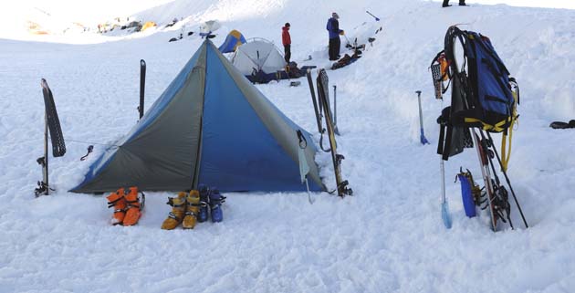
Below Weather Forcast at Lake Helen 10,400 Ft (overnight camp for most climbers)
| Thursday 7/30 Partly sunny, then gradually becoming sunny, with a high near 59. South southwest wind 7 to 10 mph, with gusts as high as 23 mph. |
| Thursday Night 7/30 Clear, with a low around 44. West northwest wind 5 to 10 mph becoming northeast after midnight. Winds could gust as high as 21 mph. |
| Friday 7/31 Sunny, with a high near 62. South wind 6 to 8 mph becoming west in the morning. |
| Friday Night 7/31 Clear, with a low around 45. West southwest wind 7 to 10 mph becoming north after midnight. |
| Saturday 8/1 Sunny, with a high near 59. |
| Saturday Night 8/1 Clear, with a low around 41. Breezy. |
| Sunday 8/2 Sunny, with a high near 58. |
| Sunday Night 8/2 Clear, with a low around 41. |
| Monday 8/3 Sunny, with a high near 62. |
| Monday Night 8/3 Clear, with a low around 47. |
| Tuesday 8/4 Sunny, with a high near 64. |
| Tuesday Night 8/4 Clear, with a low around 48. |
| Wednesday 8/5 Sunny, with a high near 62. |

| Thursday 7/30 Partly sunny, then gradually becoming sunny, with a high near 42. South southwest wind 10 to 18 mph, with gusts as high as 25 mph. |
| Thursday Night 7/30 Clear, with a low around 30. West wind 9 to 16 mph becoming north after midnight. Winds could gust as high as 21 mph. |
| Friday 7/31 Sunny, with a high near 44. North wind 9 to 11 mph becoming southwest in the morning. Winds could gust as high as 18 mph. |
| Friday Night 7/31 Clear, with a low around 31. Southwest wind 11 to 16 mph becoming north after midnight. |
| Saturday 8/1 Sunny, with a high near 41. |
| Saturday Night 8/1 Clear, with a low around 26. Breezy. |
| Sunday 8/2 Sunny, with a high near 40. Breezy. |
| Sunday Night 8/2 Clear, with a low around 27. Breezy. |
| Monday 8/3 Sunny, with a high near 44. |
| Monday Night 8/3 Clear, with a low around 33. |
| Tuesday 8/4 Sunny, with a high near 46. |
| Tuesday Night 8/4 Clear, with a low around 34. |
| Wednesday 8/5 Sunny, with a high near 44. |
Isaiah 55:9-11
As the rain and the snow come down from heaven, and do not return to it without watering the earth and making it bud and flourish, so that it yields seed for the sower and bread for the eater, so is my word that goes out from my mouth: It will not return to me empty, but will accomplish what I desire and achieve the purpose for which I sent it.
Email Sign Up

|
Join the Adventure! Sign up here for Timberline Trails Monthly Newsletter |

Join us on Instagram
©2006-2026 TimberlineTrails. All Rights Reserved.
....